Sunday morning Environment Canada alerts warn additional rain over saturated B.C. ground could raise washout risk, pooling and hazardous driving conditions.
Latest Sunday morning alerts
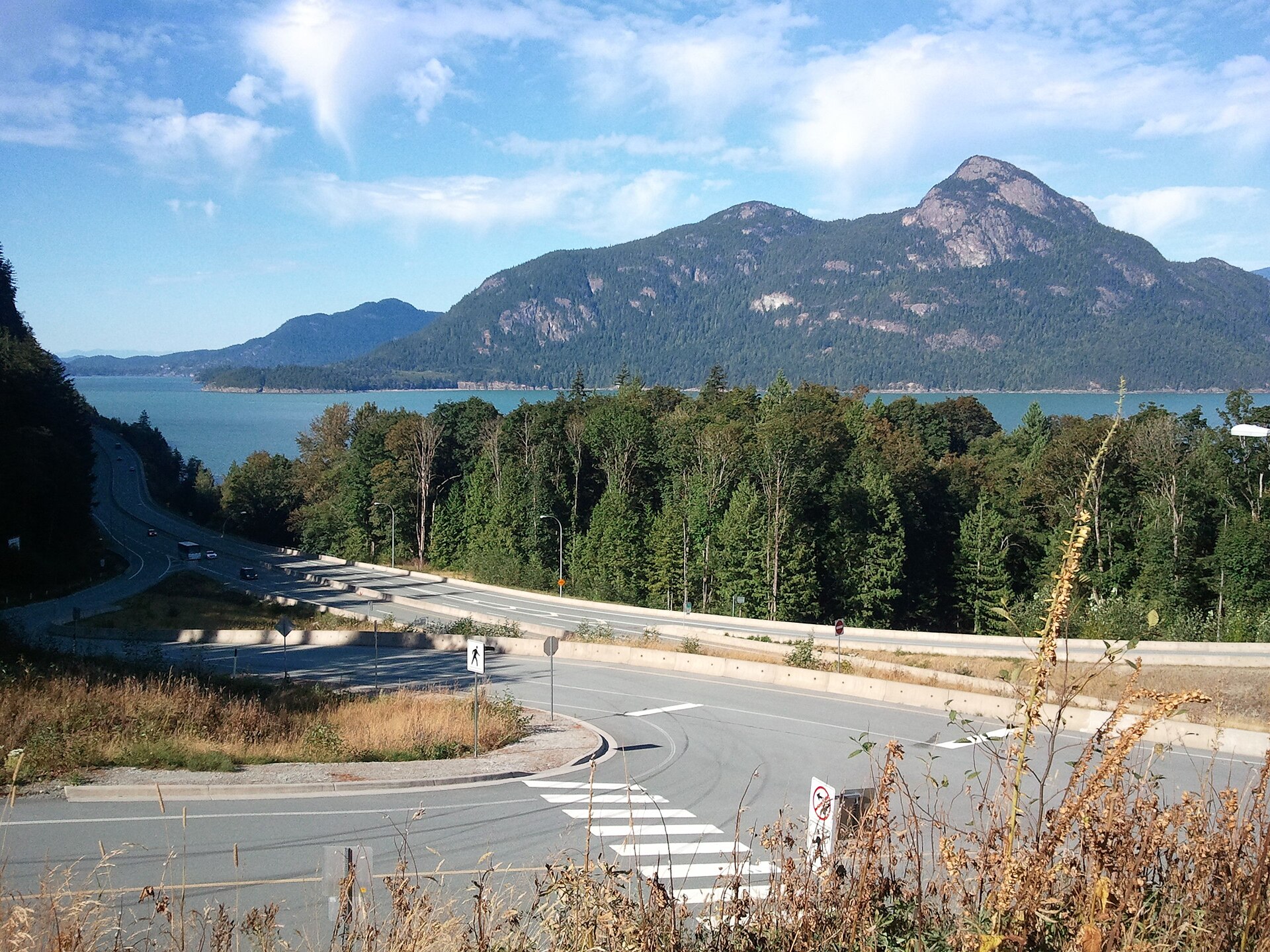
Environment Canada's Sunday, November 15, morning bulletin continued a yellow-level rainfall warning for Howe Sound and the Sea-to-Sky corridor from Squamish to Whistler. Forecasters say 40 to 70 millimetres of additional rain may fall before showers ease Sunday evening. Ground is already saturated after repeated coastal storms earlier in the week, increasing the risk of runoff, water pooling and reduced visibility. These are forecast totals and warnings, not measured rainfall at every location.
Vancouver Island remains under rain warnings
A separate alert calls for around 50 millimetres from Courtenay to Campbell River, while western, northern and inland Vancouver Island areas face possible totals of 80 to 150 millimetres in the most affected northern and western locations. Low-lying roads and creek crossings may experience washouts or debris. Local risk depends on weather conditions and terrain; residents should verify the latest alert in their own warning area instead of assuming all of Vancouver Island faces identical conditions.
Storm surge adds a second coastal hazard
Greater Vancouver's exposed shoreline also faces a coastal flooding statement associated with strong winds and higher-than-predicted tides. Residents should check Environment Canada's live bulletins and DriveBC road information before travelling, and follow emergency directions from local authorities. The news report will be time-stamped because warnings can change rapidly as the system moves east and rain eases. Archival coastal photos are not evidence of a current washout or flood.
Sources & transparency
Environment Canada — Active BC rainfall warnings updated Sunday November 15Environment Canada — Vancouver and Sea-to-Sky weather and coastal flood statementsOriginal CDN News coverage. Sources are linked for reference.
Request a correction